Map room
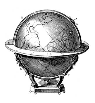
The 17th and 18th centuries saw a boom in the art and science of cartography. The exploration of the globe and the building of empires necessitated more exact mapping in support of commercial and political, as well as scientific, objectives.
"A traveler without observation is a bird without wings."
(Moslih Eddin Saadi)
Along with expansion and exploration came war. New methods of measuring and "placement" played an increasingly strategic role in the seemingly unending series of European and colonial conflicts over the period, from the Thirty Years' War (1618–1648) through the American and French Revolutionary Wars into the Napoleonic War spilling over into the 19th century (1775–1815).
Expensive to create, maps were commonly treated as luxury items. Considerable effort went into their aesthetic as well as their scientific qualities. Some maps stand as exquisite representatives of the wedding of scientific, commercial, military and aesthetic interests.
With maps came the need for standardization of place names and the growth of gazetteers — geographical dictionaries providing agreed references for places and place names. But "agreed" by whom? One of the difficulties with standardization is the issue of using endonyms (the name used by local people) or exonyms (that used by "outsiders"). The capital of Italy may well be more widely known by the exonym "Rome", than by its endonym, "Roma".
Mapping continues to develop, with research and digitization of historical materials, along with the development of exciting new GIS systems allowing users to interact with these resources.